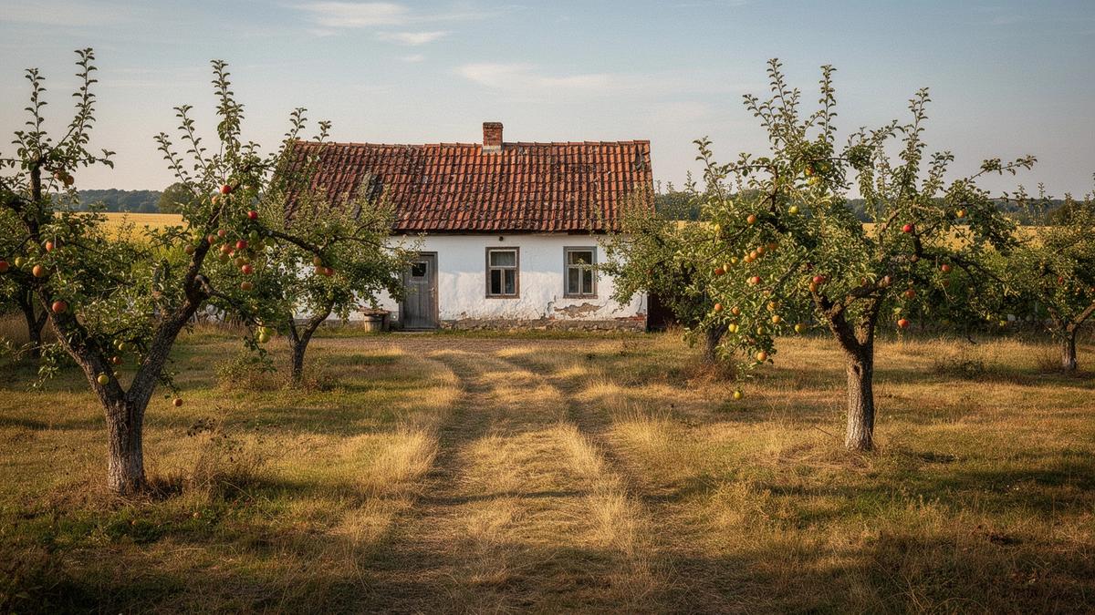
Ukraine · country houses
We check land code, utility status, access roads and survey dates, then hand you a shortlist with the ledger attached to every row.
€148,000
€96,500
€212,000
€174,000
Property information is subject to verification and may change without notice.
See how the verification ledger is builtVerification proof
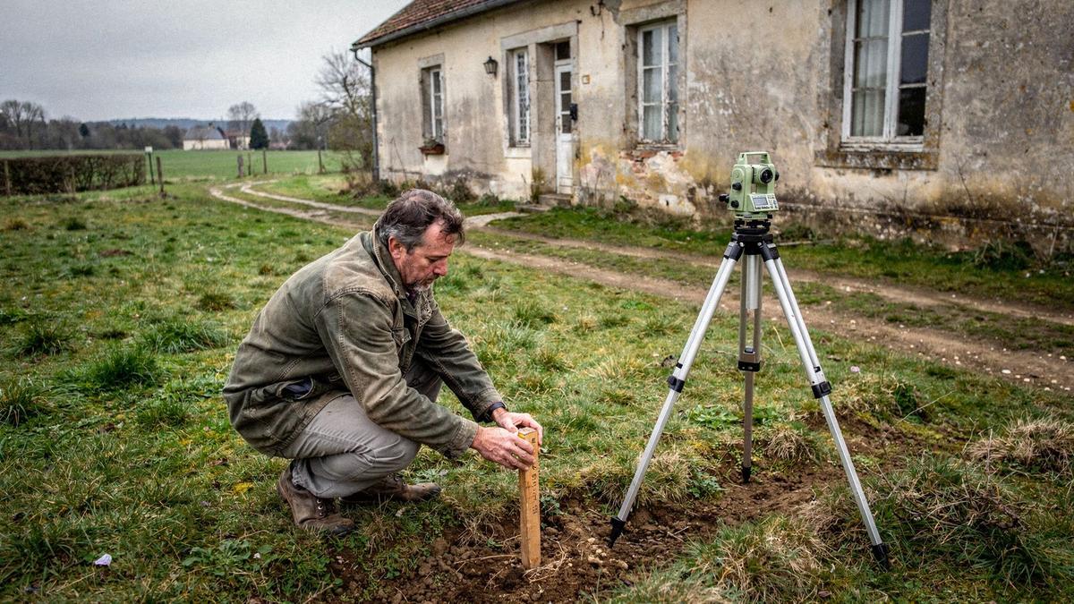
Every house is inspected on site, then cross-checked against state registers. Property information is subject to verification and may change without notice.
Cadastral number, designated use and registered owner confirmed in the state land register.
Surveyed 12 Jun 2025
Grid capacity, water source and heating checked with the local provider.
Surveyed 18 Jun 2025
Road surface and year-round approach driven and photographed in both directions.
Surveyed 18 Jun 2025
Structure, roof and foundations reviewed by an independent engineer.
Surveyed 04 Jul 2025
Verification Ledger
Process
You send the brief, we verify the shortlist, you travel with the ledger in hand. Every row you receive carries a date, and the dossier states plainly that property information is subject to verification and may change without notice.
Region, hectares, intended use, budget band and travel window. We confirm the scope in writing before a single viewing is arranged.
Land code checked, utility status, access road and survey date recorded for each candidate. What could not be confirmed is marked pending, not hidden.
Viewings are grouped into one trip, the property dossier is handed over, and we stay reachable through the notary stage.
Regional coverage
Every shortlist starts from the ground: soil, tree cover, road surface and how far the nearest paved junction sits. The notes below describe terrain and access only.
01
Rolling loess plateaus, pine belts and reservoir shoreline. Open ground with shelter breaks along the treelines.
Paved approach on the main corridors; the final 200 to 800 m is often graded gravel.
02
Open steppe cut by ravine systems, with scattered oak groves on the slopes.
Strong main-road links; field tracks are graded but soften after long rain.
03
Mixed forest and river floodplain on light sandy soils, with wet hollows between ridges.
Mostly paved down to village level; unpaved spurs can close in a wet spring.
04
Granite outcrops under dense pine, with marsh edges and small spring-fed ponds.
Paved trunk roads, then a longer unpaved run to the more isolated plots.
05
Foothill ridges under beech stands, steeper gradients and narrow valley floors.
Paved to district centres; winding gravel lanes on the upper slopes.
Region notes cover terrain and access only. Property information is subject to verification and may change without notice. Send your brief and we will confirm what applies to a specific plot.
Contact
Send a short brief and we return a verified shortlist with survey dates attached to every row. Fees are quoted per case after brief review, and property information is subject to verification and may change without notice.
Prefer to read the steps first? See how verification works.